Quinsam Heights Neighbourhood Plan

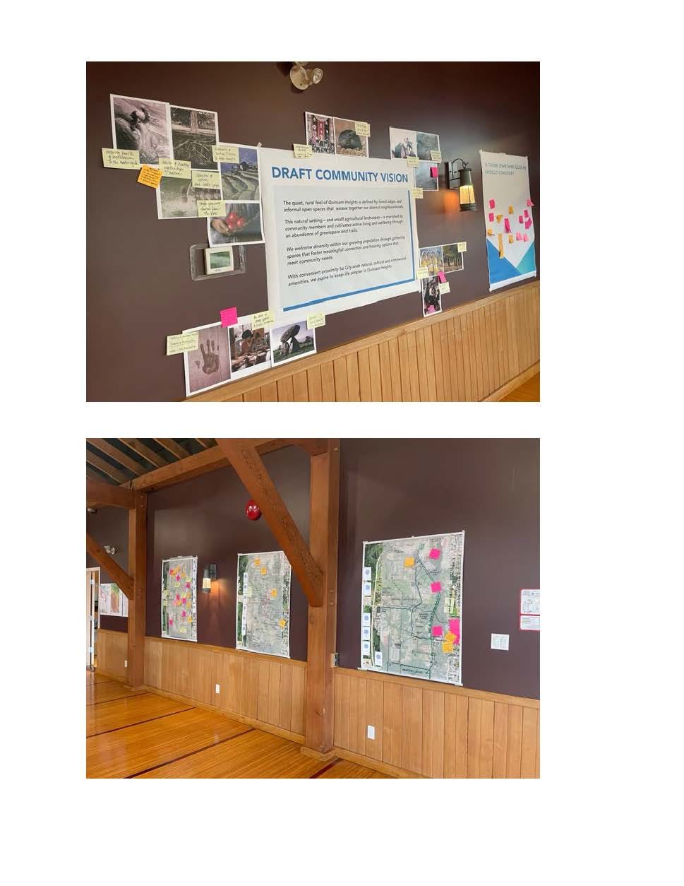
The City of Campbell River has been working on a new Quinsam Heights Neighbourhood Plan (QHNP). A final draft plan was brought forward to Council in August 2025 and an open house for public feedback on the presented boards was held Monday, December 8, 2025.
Project Background
The Quinsam Heights Neighbourhood Plan was last updated in 2008. Since then, Quinsam Heights has seen pockets of new growth and development in response to Campbell River's growing population. As the city continues to grow, Quinsam Heights will be an important growth area to address the community's future housing needs.
The updated Quinsam Heights Neighbourhood Plan will be a land use plan to accommodate a diversity of housing options, retail, business, open space and recreational opportunities, while preserving sensitive environmental areas that are a key part of the neighbourhood's identity. View a larger map of the plan area.
Planning Process
The updated Quinsam Heights Neighbourhood Plan will provide direction to guide planning and land use management for the neighbourhood.
The planning process has generally consisted of these steps:
Phase 1 - Collecting background research, including demographic, employment, transportation, economic, environment, and land use information about the plan area.
Phase 2 - Exploring the creation of a community vision, identification of key issues, opportunities and priorities and potential land use scenarios to realize the vision for the area.
Phase 3 - Developing policy directions and drafting a plan.
Plan Adoption - Presenting final plan to Council for adoption.
The planning process involves ongoing engagement with the public, First Nations, community partners, a Project Advisory Team, City staff and Council at key stages of plan development.

To learn more about housing initiatives at the City of Campbell River, visit www.campbellriver.ca/housing.
-
Frequently Asked Questions (FAQ)
Share Frequently Asked Questions (FAQ) on Facebook Share Frequently Asked Questions (FAQ) on X (formerly Twitter) Share Frequently Asked Questions (FAQ) on Linkedin Email Frequently Asked Questions (FAQ) link
What is the difference between an Official Community Plan (OCP) and Neighbourhood Plan?
An Official Community Plan (OCP) is an over-arching policy document that provides direction for growth and development in ways that are aligned with a community's needs and values.
A neighbourhood plan, such as the Quinsam Heights Neighbourhood Plan, guides future development in an area, including the locations of parks and public spaces, development standards, and transportation solutions. Neighbourhood plans also provide a link between the high-level planning found in the City of Campbell River's Official Community Plan and the regulatory detail of a zoning bylaw.
A Complete Neighbourhood Plan includes:
- a statement of development objectives and policies for the area, and their relationship to Council policy as stated in the Official Community Plan, and within other bylaws and policies that may be adopted by Council from time to time;
- an inventory of existing land uses, natural features, zoning, transportation networks, utility infrastructure and heritage sites;
- where applicable, information on the natural environment or hazardous conditions of the area including the manner in which natural site characteristics will influence development;
- the identification of major land uses by type and density;
- the general location of transportation networks and required upgrades to accommodate vehicles, public transit, pedestrians and cyclists within the plan area, and the relationship of the proposed network to existing City facilities;
- Advance transportation plans should identify all vehicle, transit, pedestrian, bicycle, and trail linkages and provide a mix of trail, local, collector and arterial roads necessary to create a balanced transportation system; and,
- the location and type of any development permit areas to be designated within the area, together with guidelines for proposed development within those development permit areas.
What determines the boundary of a neighbourhood (including the Quinsam Heights Neighbourhood)?
- Neighbourhood classifications follow a technical process and are rich with details and context.
- Neighborhood boundaries can be defined by many different types of conditions, including history and development of an area.
- Most often boundaries are defined by physical characteristics and changes, major streets, natural or man-made features, and changes in land use or character. Major streets are the most common way to define a neighborhood boundary, while they are also not the other feature.
- Natural features such as parks, rivers, streams, or man-made features such as railroad lines are also used to define boundaries.
- A change in land use from residential to commercial or industrial use might mark the boundary of a neighborhood and the start of another area.
Why is the Quinsam Heights Neighbourhood Plan being updated?
The Quinsam Heights Neighbourhood Plan was last updated in 2008. Since then, Quinsam Heights has seen pockets of new growth and development in response to Campbell River's growing population. As the city continues to grow, Quinsam Heights will be an important growth area to address the community's future housing needs.
How will the community be involved in the Quinsam Heights Neighourhood Plan?
Consultation and engagement with the community is fundamental to the success to this project, and more importantly, how growth is/is not determined and developed in this neighbourhood.
Specific ways the community has been involved in this QHNP include:
- The launch of the project page hosted on Engagement HQ
- The distribution of a survey
- A public open-house Ideas Fair at the Community Centre on January 25, 2023
- A public open-house Design Charrette; April 18 from 4-7 p.m. and April 20 from 4-7 p.m.
- Ongoing Council meetings
- A public open-house to collect comments on the draft plan; June 26 from 5-7 p.m.
What is the Quinsam Heights Transportation and Growth Infrastructure Study (TGIS), and why now?
The TGIS is a study to support Quinsam Heights growth in a safe and connected way. It addresses:
- Rapid housing growth expected in the area
- Residents’ concerns about traffic congestion
- The City’s goals for housing, livability, and strategic planning
The study will start in late 2025 and aims to improve roads, walking and cycling routes, transit options, and overall mobility so growth doesn’t overwhelm existing infrastructure.
Key actions include:
- Analyzing traffic and safety on Petersen Road, the main north-south route
- Forecasting future transportation needs based on housing growth
- Identifying upgrades for roads, intersections, and active transportation routes
- Exploring new connections, including the Elk River Timber (ERT) corridor, to reduce pressure on Petersen Road
Residents will have opportunities to share feedback on transportation challenges and proposed solutions.
-
 Quinsam Heights Open House Boards Dec. 8 2025 (13.3 MB) (pdf)
-
Draft Quinsam Heights Neighbourhood Plan (29 MB) (pdf)
-
Quinsam Heights/Nunns Creek Smart Growth Implementation Study (5.4 MB) (pdf)
-
OCP Neighbourhood Map (1.29 MB) (pdf)
-
Quinsam Heights Neighbourhood Mobility Map.pdf (149 KB) (pdf)
-
Quinsam Heights Neighbourhood Plan Ideas Fair Storyboards (28.8 MB) (pdf)
-
Quinsam Heights Engagement Summary.pdf (4.01 MB) (pdf)
-
Quinsam Heights Design Charrette Brief.pdf (515 KB) (pdf)
-
QHNP Neighbourhood Profile & Baseline Conditions Report
-
2023 QHNP Charrette Summary.pdf (31.2 MB) (pdf)